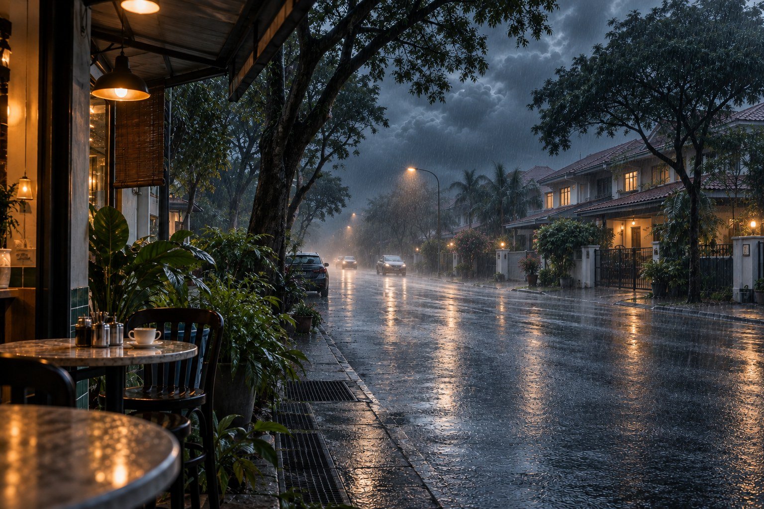
Open beta / A MAKMAL initiative
Before the
water arrives.
Check rainfall and river readings for Selangor and Kuala Lumpur. Try our open beta and help shape BANJR.MY.
Check your area — open betaNow open to everyone
A first look at your area.
View available JPS station readings and MET forecasts without an account. Create an account to save important places in Tempat kita.
Coverage: Selangor and Kuala Lumpur. Readings may be delayed or unavailable; a station does not describe conditions at your home. BANJR is not an official flood-warning or emergency service.
Try the open betaShare feedbackMeet the
BANJR.MY experience.
The places you care about, changing conditions and the information behind them—in one view.
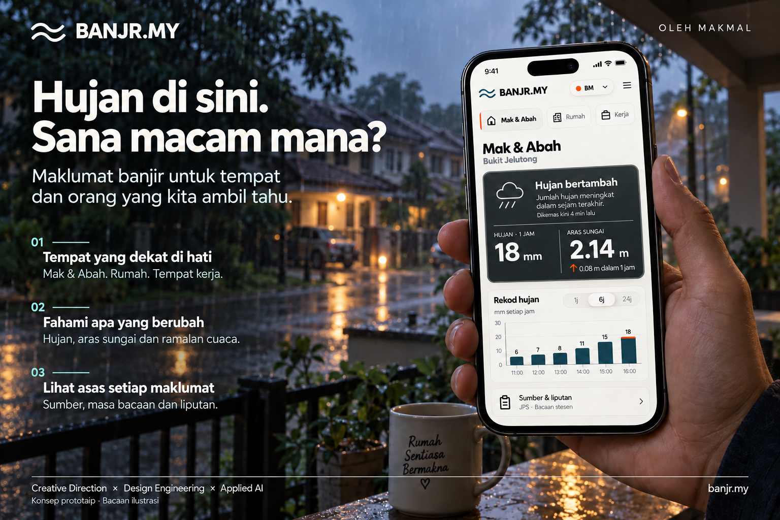
Read the visual in text
Rain here. How about there? Flood information for the places and people we care about.
- Places close to your heart: parents, home and work.
- Understand what changes: rainfall, river levels and weather outlooks.
- Inspect the basis of each update: source, observation time and coverage.
The illustrative phone screen shows Mak & Abah in Bukit Jelutong. Rainfall increased in the last hour: 18 mm. River level: 2.14 m, rising 0.08 m in one hour. Hourly rainfall from 11:00 to 16:00: 6, 7, 8, 11, 15 and 18 mm. A source panel refers to JPS station readings. These are concept readings, not current conditions.
By MAKMAL. Creative Direction × Design Engineering × Applied AI.
A preview of the experience we want to build. Not a source of current flood information.
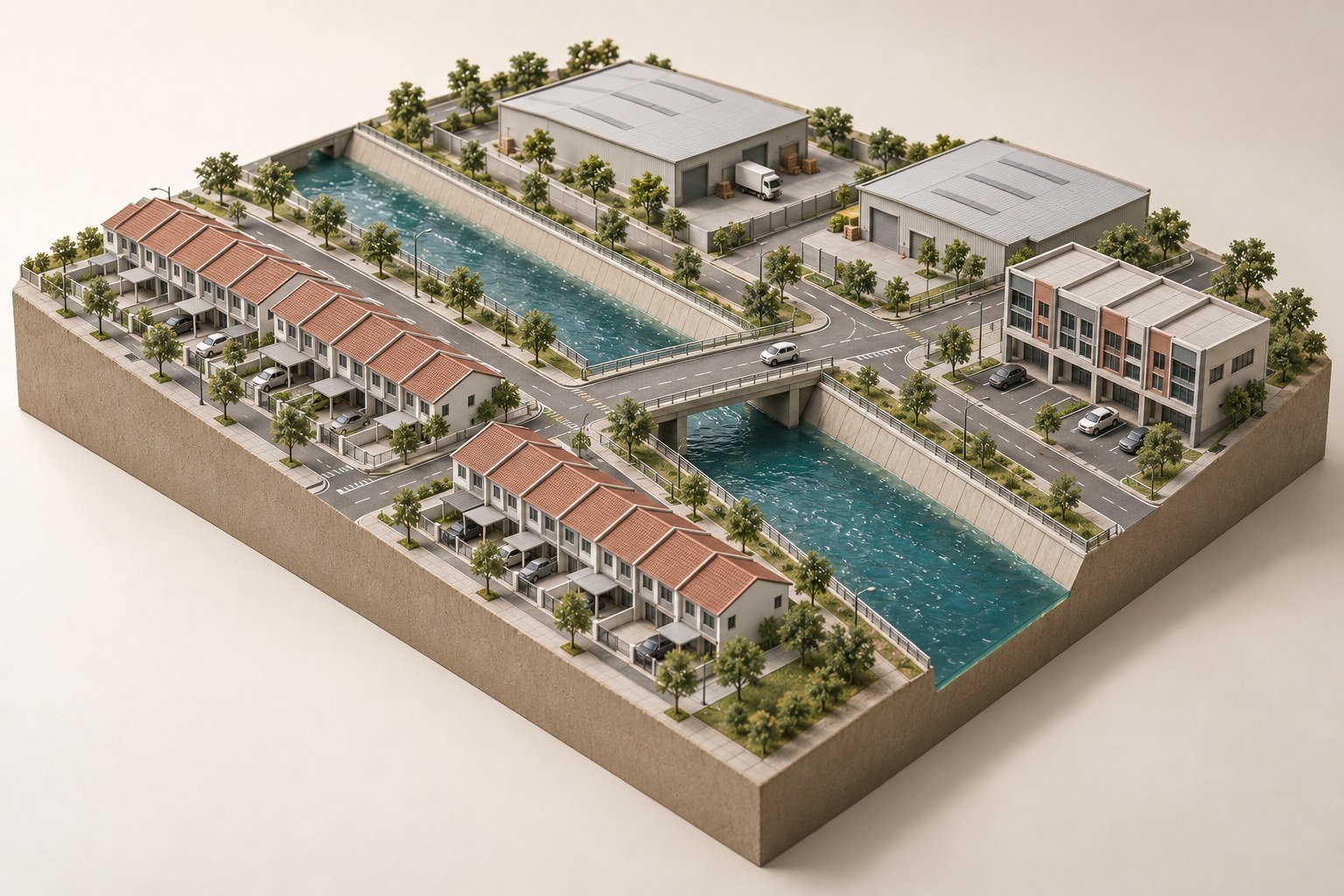
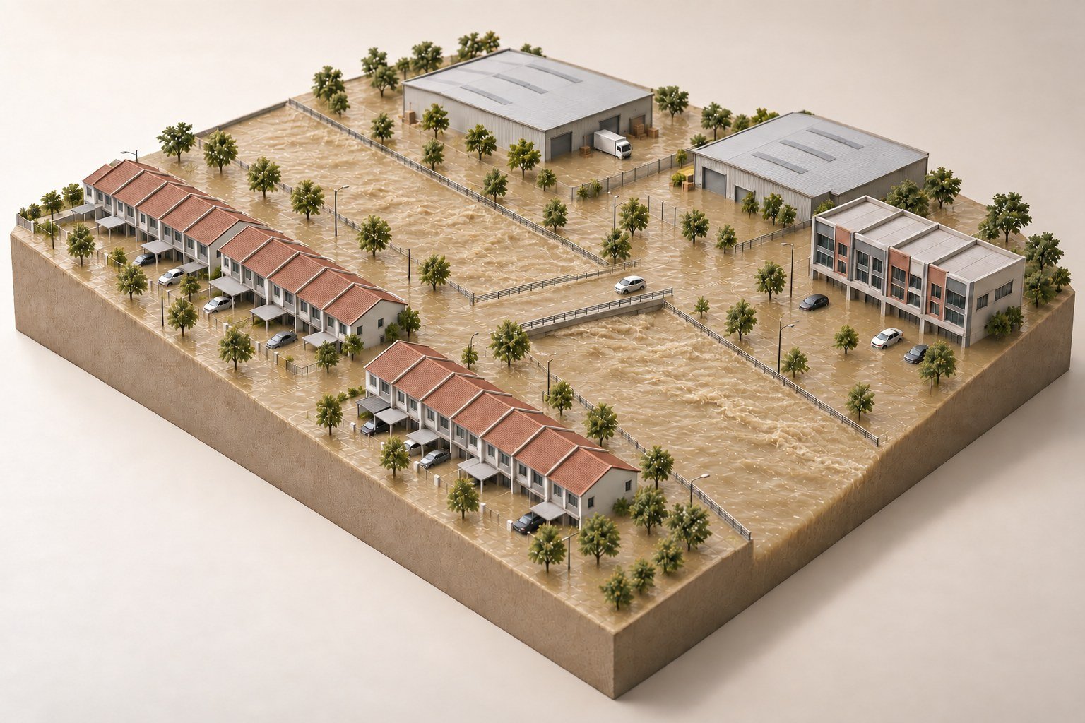
One rising river.
Many changing plans.
A road connects home to work. A drain connects one street to the next. Flood information needs to make those connections clearer.
 BANJR.MY
Beyond the channel.
Access changes.
Plans change with it.
Try it. Tell us what helps.
The open beta is available now. Share your feedback, or subscribe for occasional progress updates.
Keep me updated.
Receive occasional BANJR.MY updates from MAKMAL. Unsubscribe at any time.
Loading signup… If it doesn’t appear, you can email us below.
Prefer a conversation? Email usIndependent thinking. A shared ambition.
Made by Maharis.
Open to others.
BANJR.MY is an initiative by MAKMAL, the independent creative practice of Maharis Azman. Bringing design, technology and a question close to home together.
Help shape the first pilot
Bring a community.
Bring your expertise.
We’re interested in conversations with community groups, researchers and potential partners who can help shape a useful first study.
Let’s talk